GIS Lab to be set up
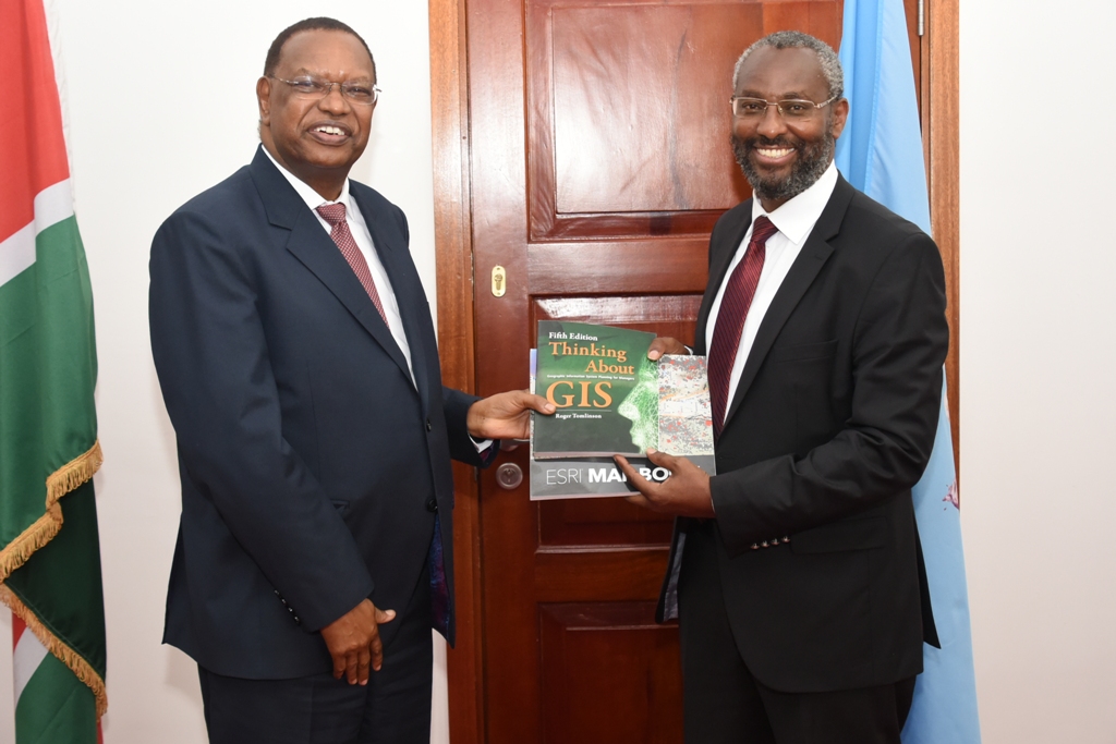
GIS to Vice-Chancellor, Prof. Stephen Kiama.
GIS offers a powerful decision-making toolkit that can be used in educational administration, educational policy and teaching. For students and researchers, GIS enables them to understand content in a variety of disciplines. To keep up with these technologies, the University of Nairobi is in talks with Esri Eastern Africa to set up a GIS Laboratory at the Wangari Maathai Institute.
“Esri is keen on having a GIS Lab in every campus. We are particularly keen in an area of excellence for GIS at the University of Nairobi,” says Judah arap Bett, the Managing Director, ESRI Eastern Africa. “GIS can be used in a variety of disciplines, not only in geography, but in history, mathematics, language arts, environmental studies, chemistry, biology, civics, security, medicine and many more.”
The Vice-Chancellor, Prof. Stephen Kiama also highlights the role of GIS in data and its importance to research and teaching.
“This initiative is important for us as an institution of higher learning,” says Prof. Kiama. “GIS technologies will not only equip our students and researchers with skills but also expose them to new possibilities in their various fields. The data collected will be very useful.”
Moving forward, a technical committee from the University of Nairobi and Esri Eastern Africa will work on actualizing this initiative.